

industry insight
Why 3D Laser Scanning Is Changing Construction in Melbourne
From heritage renovations to high rise developments, 3D laser scanning is revolutionising how Melbourne's construction industry captures and uses site data.
01
Every renovation, fitout and infill development starts with the same question.
What is actually there?
For a long time, the answer came from a tape, a total station and a page of dimensions taken by whoever was on site that morning. It worked well enough. It also left gaps, and gaps have a habit of surfacing later, usually once a wall is up or a slab is poured.
3D laser scanning in Melbourne is changing what that first answer looks like.
Instead of relying only on a selection of measurements chosen in advance, a scan captures a far more complete record of the visible site in three dimensions. That information can then be revisited, measured and interrogated long after the survey crew has packed up and gone home.
For construction teams working with existing buildings, tight sites and complicated conditions, that changes a lot.
The questions that were not on the original brief
An existing conditions drawing shows you what was captured and considered important enough to document at the time.
On a simple job, that can be plenty.
The problem starts when the questions get more specific, and on most construction projects they eventually do.
-How much clearance is there under the raked roof at the third bay, where the racking is going?
-Will a semi make the turn into the loading dock past the power line, the tree and the neighbour's fence?
-Is there enough headroom under the existing mezzanine once the new services run beneath it?
-How much fall is there across the warehouse floor, and will the tenant's equipment tolerate it?
-What did the roof sheeting, finishes and fixtures look like before the refurbishment began?
Many of those questions can be answered directly from an existing point cloud.
Without that information, even a relatively simple missing dimension can mean another site visit, another request for information and another round of coordination between consultants.
Multiply that across an architect, builder, structural engineer, services consultant and project manager and the value of having more complete site information becomes fairly obvious.
What a 3D laser scan actually gives you
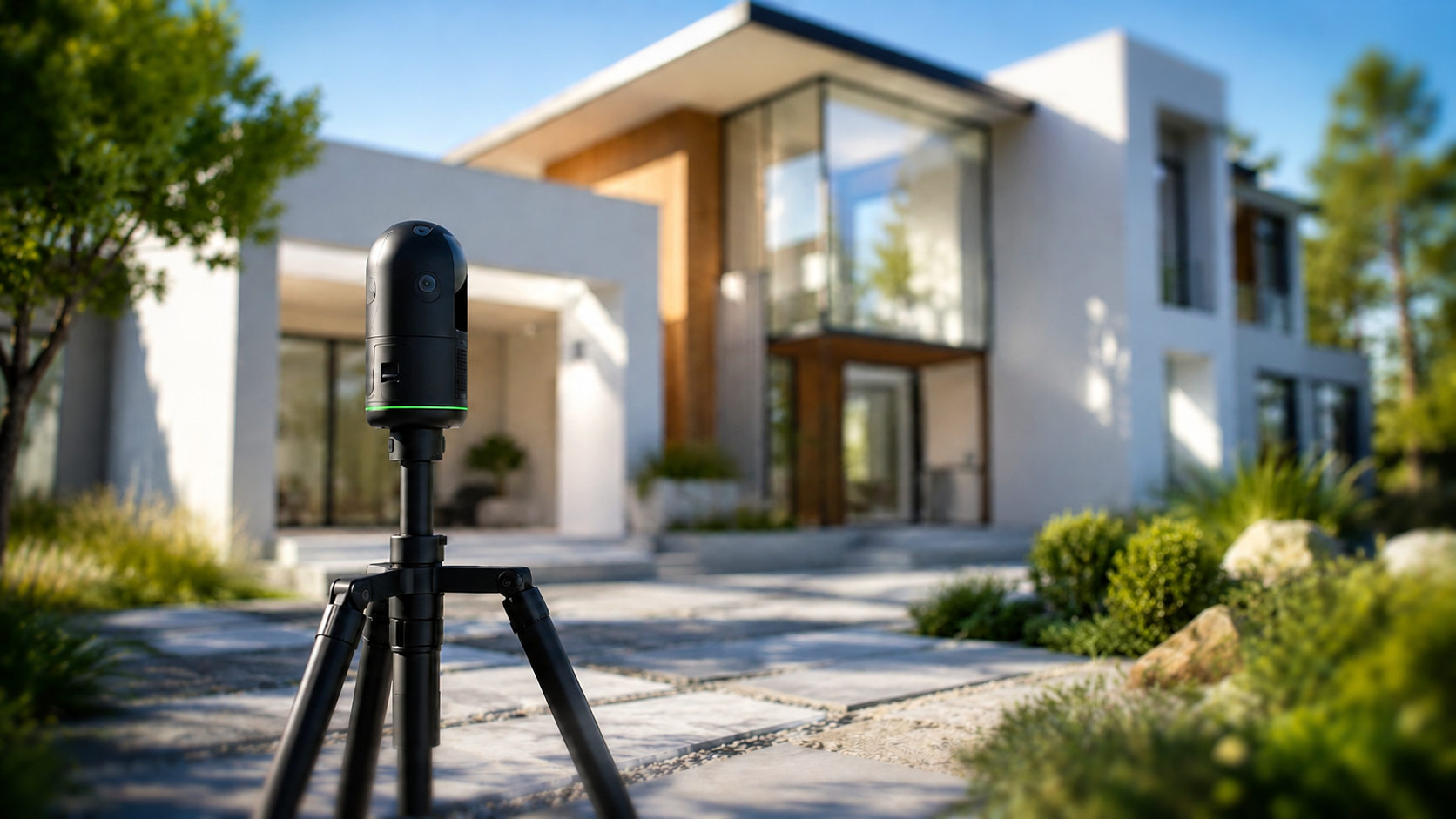
A survey grade laser scanner can sweep the space and capturing millions of measured points. Those individual scans are then registered together into a single 3D dataset called a point cloud.
Two things make that dataset useful rather than just pretty picture.
The first is that it can be connected to survey control. When appropriate, the scan can be coordinated to systems such as MGA2020 and AHD, allowing it to be integrated with survey information, title work, design models and other spatial datasets rather than sitting in an isolated local coordinate system.
That matters when different consultants need their information to relate to the same physical site.
The second is that many scanners capture imagery alongside the measured data. That creates a visual record of the site and, depending on the platform used, can provide a virtual walkthrough that allows the broader project team to revisit captured locations without needing specialist surveying software. The architect, the builder, the engineer and the client can all be looking at the same site conditions rather than trying to describe them to each other over email.
Melbourne sites punish guesswork
The reason 3D laser scanning has become so useful in construction comes down to the kind of projects being delivered across Melbourne.
A significant amount of work is happening on sites that already have something on them.
-Warehouse conversions in Brunswick and Cremorne.
-Terraces in Fitzroy and Carlton where the party wall is shared, out of plumb and sitting beneath a heritage overlay.
-Townhouse and knockdown-rebuild sites through Melbourne where designs push close to boundaries and small differences in existing conditions matter.
-Industrial fitouts where racking height, floor levels and clearance beneath a portal frame can determine whether the tenant's proposed operation will work at all.
On sites like these, the existing conditions are the design constraint.
A wall that leans 40 millimetres over its height, a floor that falls in an unexpected direction or a beam that sits lower than the old drawings suggest may force a design response if discovered late. Captured properly, those conditions can be investigated before construction reaches that point.
There is also the practical problem of getting onto site in the first place. Occupied dwellings, tenanted warehouses, operating factories, schools and live construction zones can all be difficult to access repeatedly. A comprehensive scan during the initial visit can capture a much broader record of the visible conditions, including information that nobody realised they would need until later in the project.
Where the value shows up during construction
Fewer return visits and fewer RFIs
One of the most common requests during a project is for information that was not included in the original brief. If the relevant area was captured clearly in the scan, that question may be answered from the existing dataset rather than requiring another survey visit.
Verification as construction progresses
Scanning can also be repeated at selected construction stages. Depending on the project, this can help record or verify items such as:
-slab levels
-column positions
-façade geometry
-structural elements
-penetration locations
-installed services
-completed building geometry
The captured data can then be reviewed against the design or used as a detailed record of what was constructed at that stage. Finding a discrepancy before the next trade covers it up is generally much easier than finding it afterwards.
A record of existing conditions
Before demolition, excavation or major alterations begin, scanning can create a detailed record of the visible condition and geometry of the site. That can be valuable when questions arise later about what existed before work commenced.
How PM Kennedy approaches 3D laser scanning
At PM Kennedy, 3D capture is built into our surveying workflow rather than treated purely as a specialist add on.
We capture our sites using 3D laser scanning as standard with our feature and level survey, creating a digital record alongside the traditional survey information required for the project.
Clients receive access to a virtual walkthrough of their site, allowing architects, builders, engineers, project managers and other consultants to revisit captured conditions as the project develops.
The real advantage is the combination of survey control, traditional land surveying, reality capture, title knowledge and practical deliverables within the same project.
If you have a Melbourne construction, refurbishment or development project where the existing conditions are doing the heavy lifting, speak with our team about the most appropriate way to capture the site.
Topics
Continue Reading
Related Articles