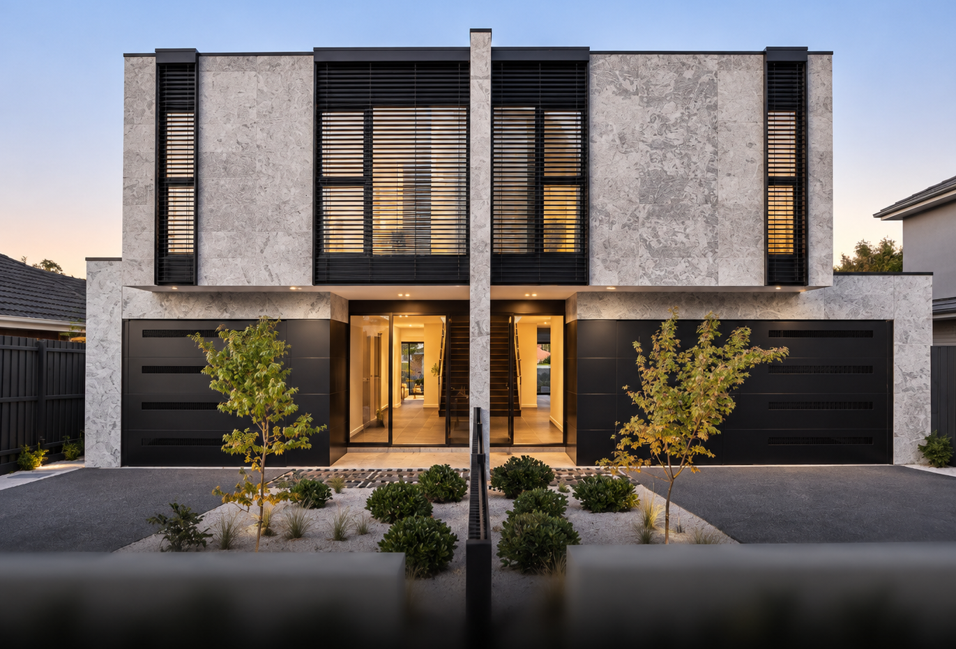

Detailed mapping of terrain, structures and elevations for design and planning.
Feature and level surveys provide comprehensive site data essential for architectural design, engineering and development planning. We capture all physical features, contours, and level information to support your project.
Existing site features and structures
Ground levels and topographic contours
Buildings, fences and retaining walls
Visible services and site infrastructure
Significant vegetation and surrounding features
Survey plan and digital CAD
WHY CHOOSE US
We tailor the survey scope to suit your design requirements.
Advanced instruments for comprehensive site measurement.
Delivered in PDF, CAD and 3D model formats.
Efficient processing to meet your project timeline.
Skilled surveyors with extensive feature survey experience.
Decades of feature and level survey expertise.
HOW IT WORKS
1
Confirm the site context, survey extent and your design requirements.
2
Comprehensive capture of structures, levels, vegetation, services and other site features.
3
The field data is checked, processed and coordinated.
4
Prepare a detailed feature and level survey plan showing the site information required for design, planning and development.
5
The completed survey is issued in the required digital formats, ready for use by your project team.
GOT QUESTIONS?
TESTIMONIALS