High-precision site capture with drones and laser scanning to model real-world detail.
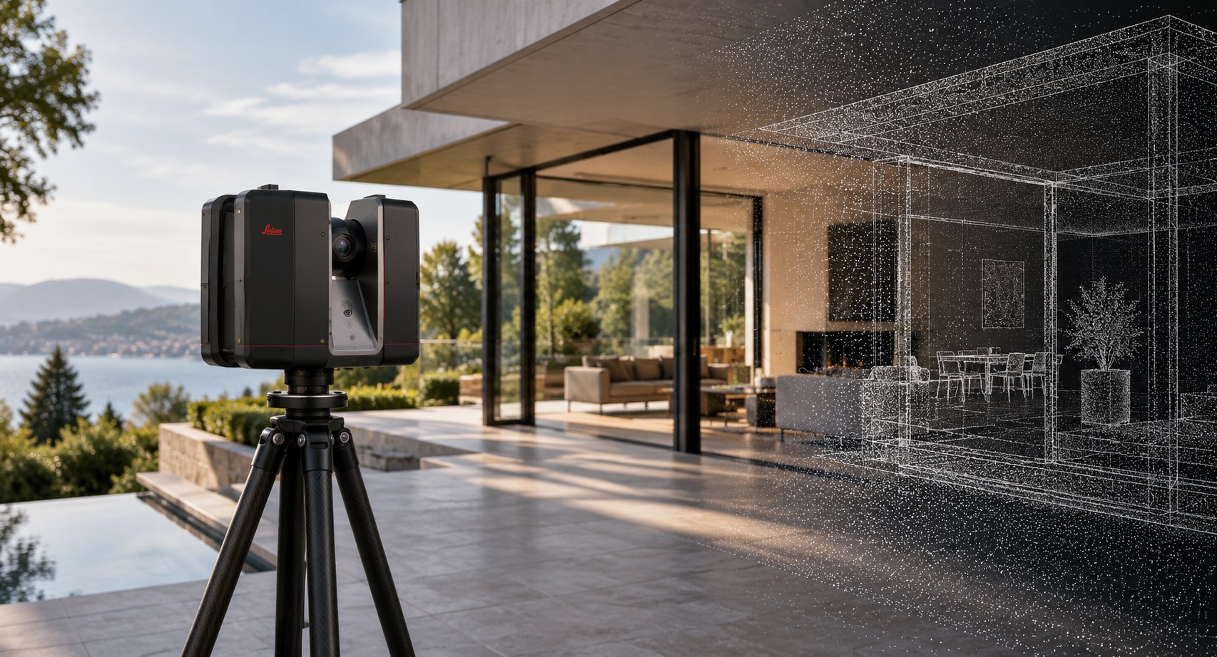
PM Kennedy uses 3D laser scanning and aerial survey technology to capture complex sites, buildings and infrastructure with exceptional detail. We turn real-world conditions into accurate spatial data, point clouds and digital models that give architects, engineers, builders and project teams a reliable foundation for design, documentation, construction and asset management.
Terrestrial 3D laser scanning
UAV and aerial survey capture
Registered point cloud data
3D models and digital site information
Survey control and spatial coordination
CAD, GIS and BIM-compatible deliverables
WHY CHOOSE US
Modern 3D laser scanning and UAV technology used to capture detailed spatial information efficiently and accurately.
High quality survey control and spatial coordination provide reliable data for design, documentation and construction.
Point clouds, 3D meshes, orthophotos and CAD formats.
Experienced surveyors and spatial professionals manage the capture, processing and delivery of complex datasets.
Efficient capture and processing for quick delivery.
Backed by more than 45 years of surveying experience and a strong understanding of how spatial data is used throughout a project.
HOW IT WORKS
1
The site, project requirements and required outputs are reviewed to determine the most suitable capture method.
2
3D scanning, aerial survey or a combination of technologies is used to collect detailed site data.
3
The captured data is registered, checked and coordinated to the required survey reference.
4
Point clouds, models and other required spatial deliverables are prepared from the processed data.
5
The completed data is issued in the required formats for use by the design, construction or project team.
GOT QUESTIONS?
TESTIMONIALS